No fires permitted at any time.
The Swale Canyon portion of the Klickitat Trail will be closed for fire danger from June 21 through October 8 every season.


9 State Hwy 142, Lyle, WA 98635
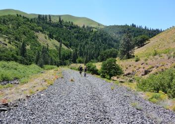
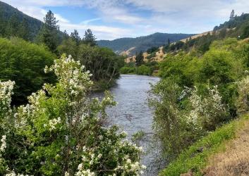
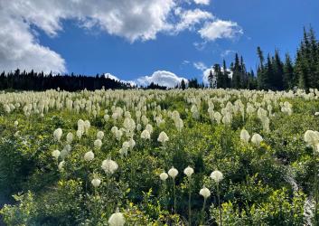
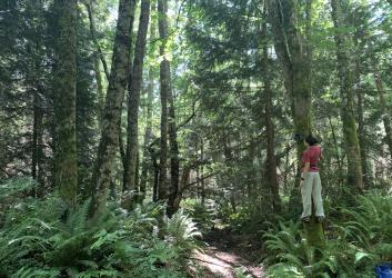
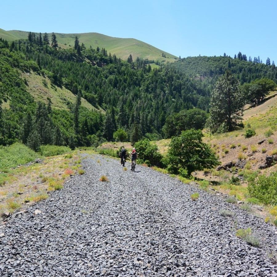
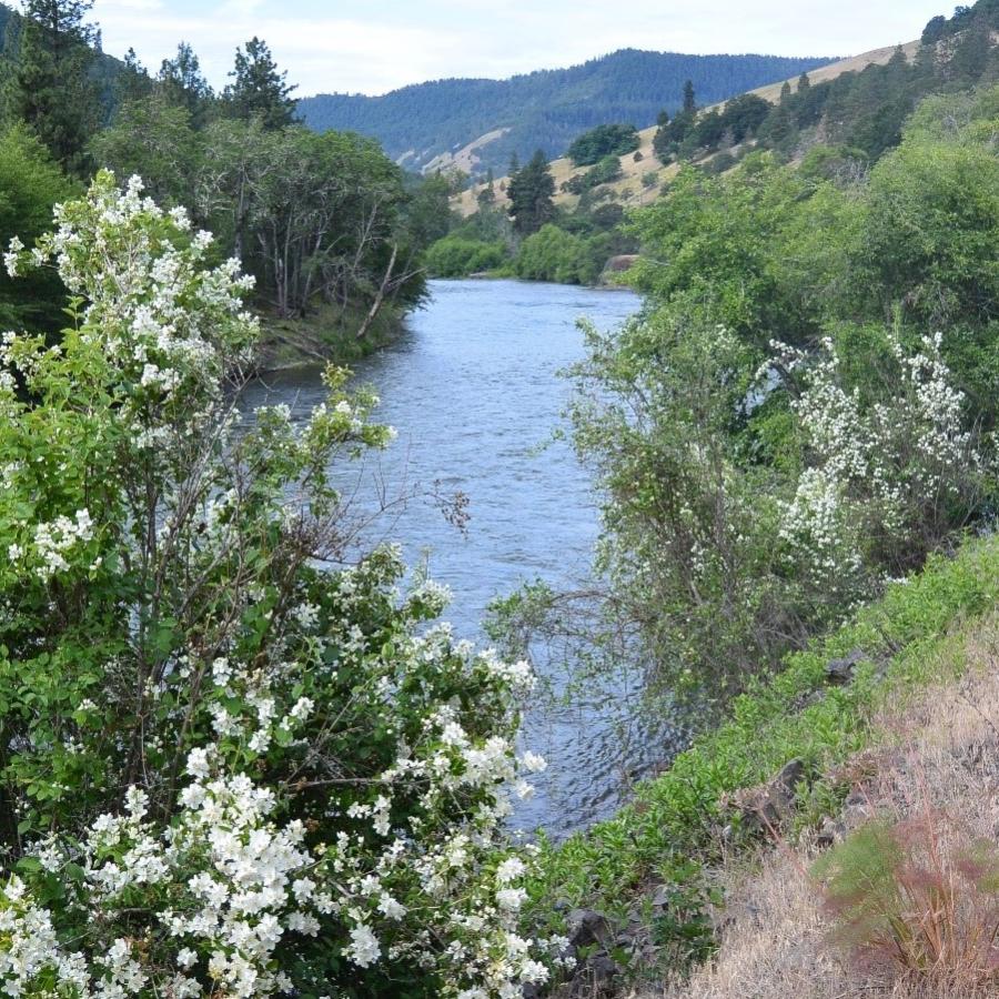
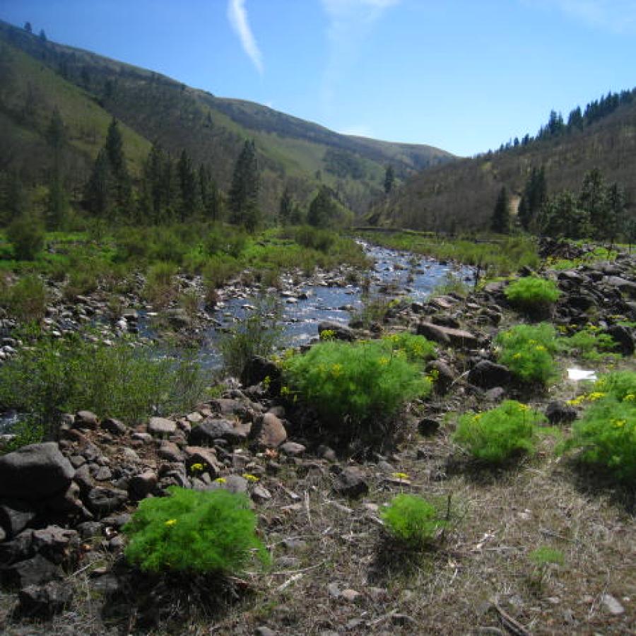
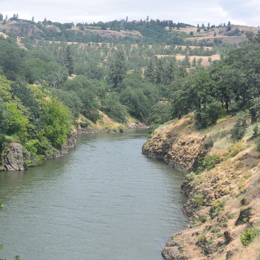
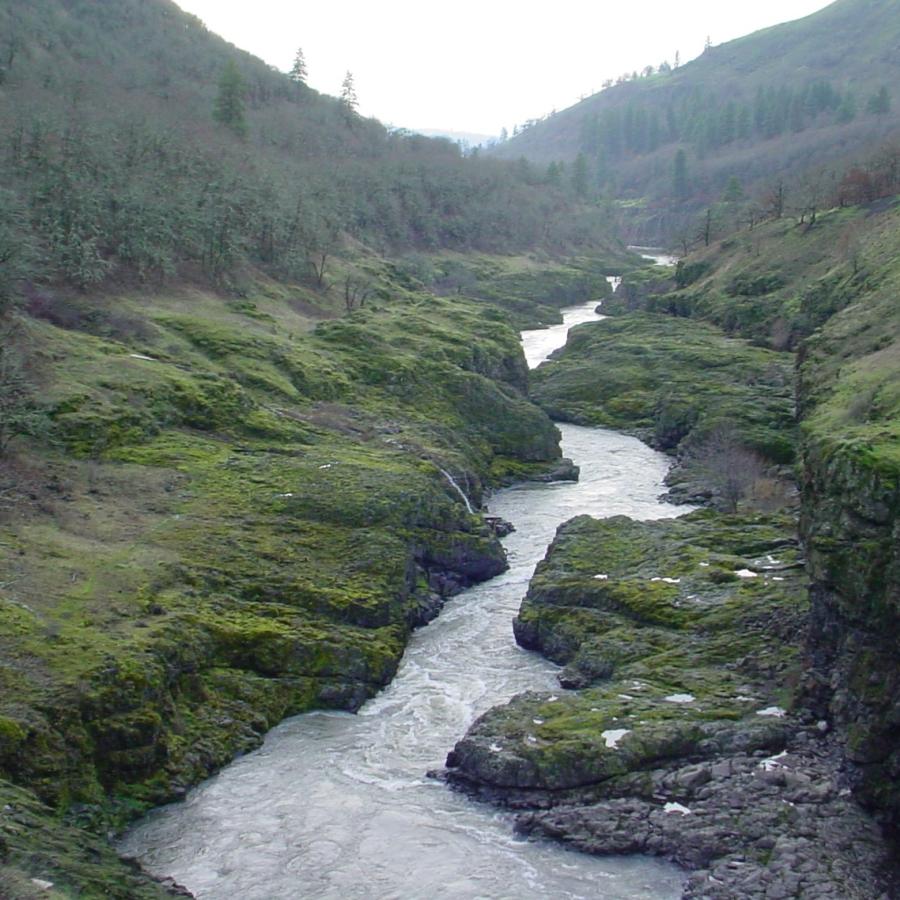
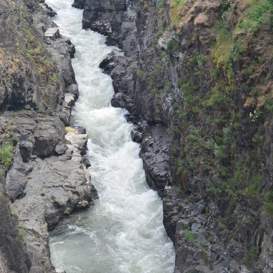
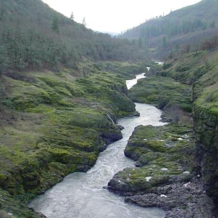
The Klickitat Trail follows an old railroad corridor that at one time linked the towns of Lyle and Goldendale. The trail runs along the Klickitat River to Swale Creek and through Swale Canyon. The canyons lined with oak and pine forests, and in the springtime covered in a variety of beautiful wildflowers. East of Swale Canyon visitors can see rustic farms, open fields and occasional grazing cows. In the winter, the trail is open for ungroomed snowshoeing and cross-country skiing adventures.
Cell reception and potable water are not available at trail access points except for the Lyle trailhead, so be well prepared for any long-distance hiking or biking adventures.
Swale Canyon closes when Washington State Department of Natural Resources (DNR) issues a "High" fire danger; usually June or July until early October. For current fire danger levels, visit DNR's Fire Danger and Outdoor Burning webpage.
For the most accurate directions see the Klickitat Trail Map pdf.
ADA accessible parking is available only at the Lyle Trailhead.
Learn about seasonal closures and operational changes during the off-season on the Winter Schedule page.
Biking
Bird Watching
Hiking, Walking, Rolling and Running
Accessible Parking
Parking
Bike Trails
Hiking Trails
Creek
Field
Forest
Freshwater
Meadow
Mountain View
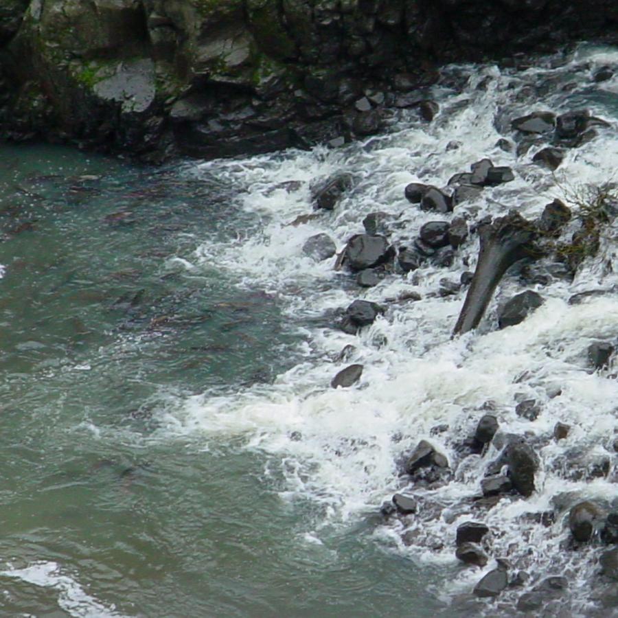
River
Seasonal Wildflowers
Waterfall
Wildlife Viewing
Cell reception and potable water are not available at trail access points except for the Lyle trailhead, so be well prepared for any long-distance hiking or biking adventures.
Swale Canyon closes when Washington State Department of Natural Resources (DNR) issues a "High" fire danger; usually June or July until early October. For current fire danger levels, visit DNR's Fire Danger and Outdoor Burning webpage.
For the most accurate directions see the Klickitat Trail Map pdf.
ADA accessible parking is available only at the Lyle Trailhead.
Learn about seasonal closures and operational changes during the off-season on the Winter Schedule page.
Run, stroll or roll along the scenic creeks and canyons of Columbia Gorge country on the Klickitat Trail. Enjoy wide-open skies and breathtaking high-desert scenery on this 31-mile converted railroad bed trail. Fantastic opportunities for bird watching or wildlife viewing surround you as you enjoy your adventure. In the winter, the trail is open for snowshoeing and cross-country skiing, no grooming occurs.
The surface is improved for 1.5 miles to the Fisher Hill Trestle. This is the only ADA accessible trailhead and includes a bathroom and potable water.
This trailhead is a popular drift boat takeout during salmon and steelhead seasons. It is also a great access point for equestrian users.
Pitt Trailhead is 10 miles north of Lyle Trailhead at milepost 10 on SR 142.
To access Klickitat Trailhead travel 14 miles north from Lyle Trailhead on SR 142. Make a left on Durkee Rd and an immediate left again. Park near the old caboose. The community park abuts the trail one block south and across SR142 from the gas station. The trailhead is the location of a former railroad siding. Going south from here is the only current option. The trail north is currently unusable due to the bridge out in Suburbia just north of town.
Travel north 16 miles from Lyle Trailhead on SR 142. Turn right on Horseshoe Bend Rd and travel .10 miles to Schilling Rd. Turn right and Wahkiacus Trailhead is 100 feet on your right.
This trailhead is the lower access point of Swale Canyon. Going east from Wahkiacus, the route is scenic and very easy walking. Going west toward Klickitat is a pretty 3-mile hike along the river. Visitors will then encounter the missing trestle and will need to return the same way they came. Bicyclists heading west after passing through Swale Canyon should turn north at this trailhead parking lot and then left onto Horseshoe Bend Road. After crossing the bridge over the Klickitat River, turn left again onto SR142 and reconnect with the trail three miles later in the town of Klickitat.
From Lyle take Centerville Hwy north for 15 miles to Harms Rd. Turn left and travel 1.5 miles to Harms Road Trailhead. Parking available on roadside only.
Going west from this trailhead leads through Swale Canyon. Heading east, the trail winds through flat farmlands and a riparian area and ends in about two miles at Uecker Road. This is a remote trailhead with no cell service so please plan accordingly.