No fires permitted at any time.
There are multiple trail improvement projects occurring in Pacific County this fall that require portions of the trail to be closed.
-The trail will be closed from Salmon Creek (MP28) to Lebam (MP 38) September 15th through December 31st for resurfacing work.
-The trail will be closed at approximately MP 47 just west of Menlo September 8th-Dec 31st for the construction of a new trailhead.
-There will be rolling closures along the trail between Menlo (MP 46) and Lebam (MP 38.5) from September 15th-December 31st for resurfacing work.
Milepost distances noted are from Chehalis heading west. Thank you for your patience while these developments occur.

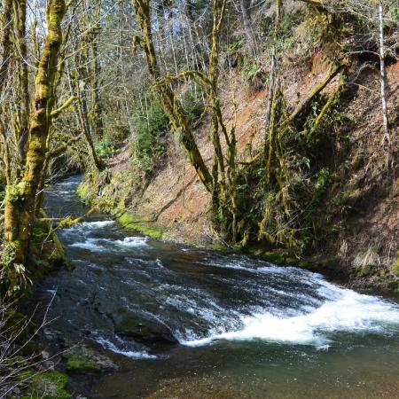
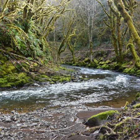

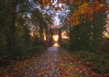
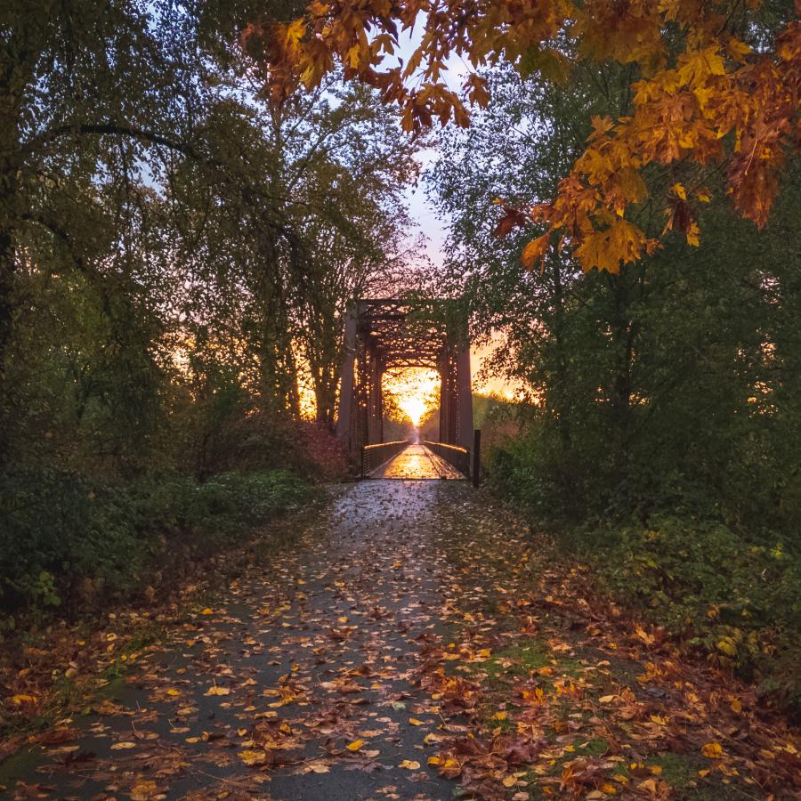
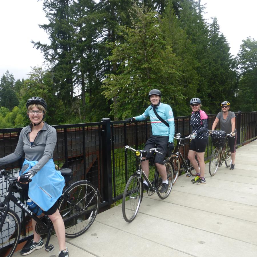
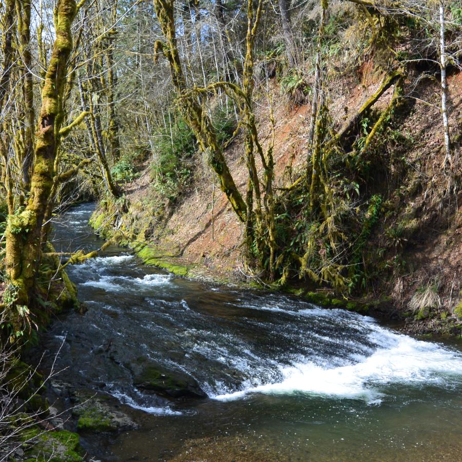
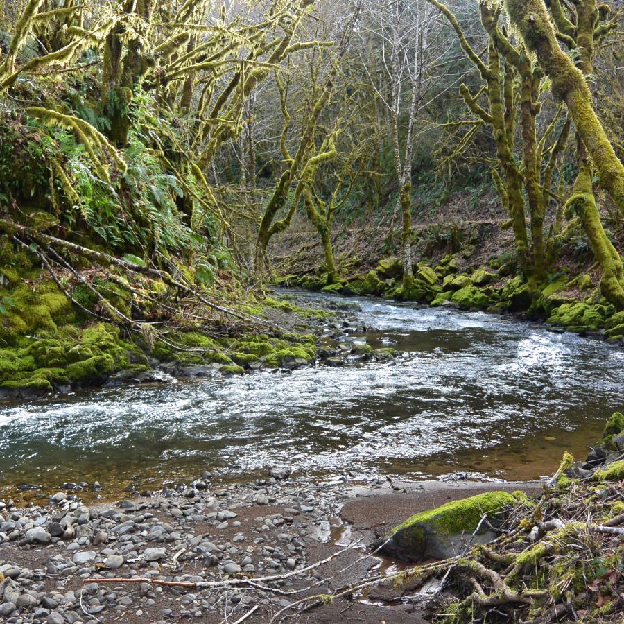
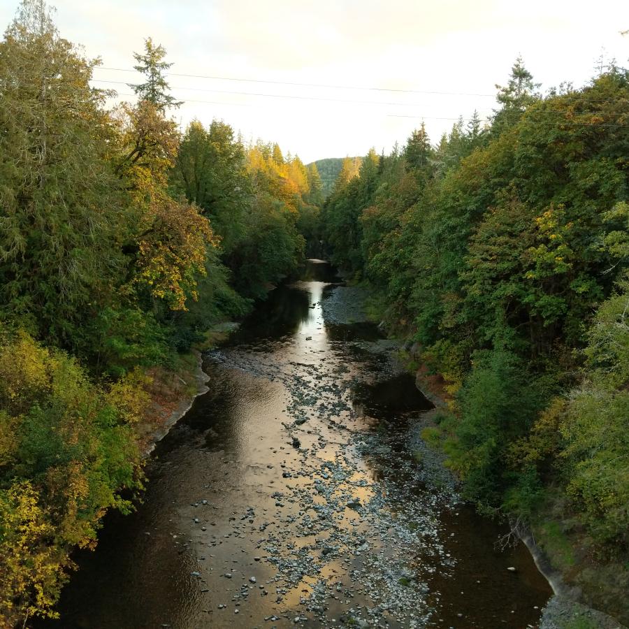
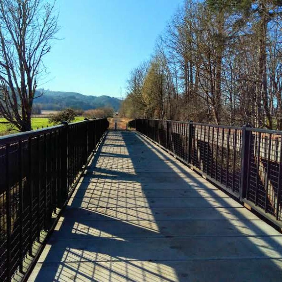
Willapa Hills State Park Trail spans 56 miles east-west between Chehalis in Lewis County and South Bend in Pacific County. Pedestrians, equestrians, cyclists and skaters can experience scenic views of Willapa Valley, rivers, farms and small towns along the way.
Learn about seasonal closures and operational changes during the off-season on the Winter Schedule page.
Biking
Bird Watching
Hiking, Walking, Rolling and Running
Horseback Riding
Restrooms
Accessible Parking
Parking
Accessible Trails
Bike Trails
Equestrian Trails
Hiking Trails
Creek
Field
Forest
Freshwater
River
Seasonal Wildflowers
Viewpoint
Wetland
Wildlife Viewing
Learn about seasonal closures and operational changes during the off-season on the Winter Schedule page.
Take a walk, bike, or horse ride on this trail all year round. It is a great recreation option for families as it is relatively flat, passable in most weather conditions and easy to access from multiple trailheads. Trailheads in Lewis County include Chehalis, Adna, Rainbow Falls State Park, and Pe Ell. Pacific County offers access points at Lebam, Menlo, Raymond, and South Bend. Most people access the trail at Chehalis and travel westward.
Surface conditions vary along the trail. From Chehalis through the town of Adna, the trail is asphalt. From here, it transitions to compacted gravel at mile 5 and continues to mile 27, west of Pe Ell. In Pacific County, the trail is natural/unimproved west of mile 27 all the way to the Raymond city limits near mile 52. The trail then transitions back to asphalt for five miles between Raymond and South Bend and ends at a small trailhead accessible by Highway 101.
As funding becomes available, we will make improvements to open up the entire trail. Much work remains to complete the trail in Pacific County. Many miles of trail are rough or impassible for some travelers because it is surfaced with railroad ballast rock.
Trestles 32 and 32.5 are completed and open. However, trail surface improvements in this area are scheduled to occur in late 2025.
The trail is closed at MP 38.5 west of Lebam due to a washout. Planning, permitting, and design of a bridge to span the washout is currently in progress.
The trail is closed between MP 48-49 at Trestle 48, east of Heckard Rd. The trestle and adjacent trail are unsafe for use due to erosion.