James Island Marine State Park History
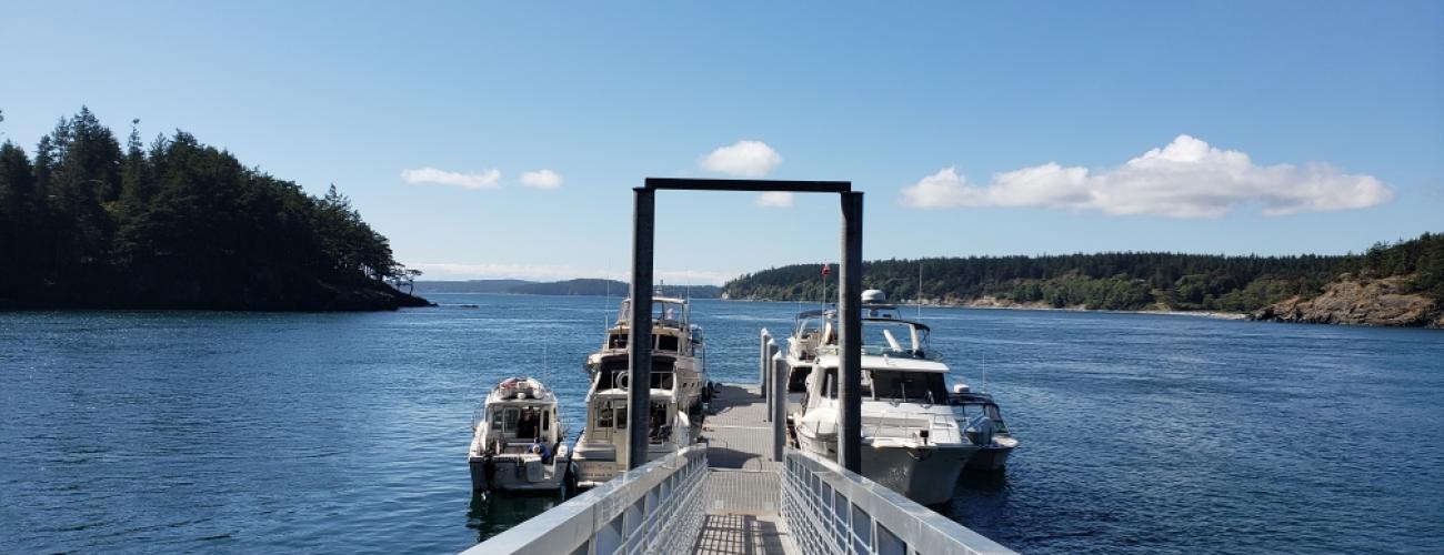
James Island Marine State Park preserves an entire island on the western side of Rosario Strait. Its two forested hills rise more than 200 feet above a low isthmus. Rock outcrops on its rugged shore reveal that the bedrock of the island was formed deep on the ocean floor and uplifted above the water’s surface by the forces of plate tectonics.
Indigenous Lands
The island lies within the traditional territories of Coast Salish Indigenous people whose present-day descendants include members of the Samish Indian Nation, Swinomish Indian Tribal Community, Suquamish Tribe, Lummi Nation, and First Nations in present-day Canada. For millennia the waters surrounding James Island have provided habitat for a diverse community of life that forms the basis of their cultures.
The present-day name for James Island was coined by the American explorer and naval officer, Commander Charles Wilkes, during the United States Exploring Expedition in 1841. The island was named for Reuben James, a U.S. sailor who purportedly saved the life of naval officer Stephen Decatur—the namesake of nearby Decatur Island—during a battle with Tripoli in North Africa.
Local tribes ceded ownership of the area to the US federal government in the Treaty of Point Elliot in 1855, keeping rights to harvest natural resources in their usual and accustomed places, including the waters surrounding the island. In the 1850s, James Alden Jr., a veteran of Wilkes’ expedition, returned to Washington’s inland waterways to complete a survey of the coast, including recommendations for lighthouses and navigational aids. In 1875, President Ulysses S. Grant issued an Executive Order reserving James Island, among other locations in the San Juan Archipelago, for the construction of a lighthouse. No lighthouse was ever built on the island, though. The federal government granted the island to the Washington State Parks and Recreation Commission (WSPRC) on March 6, 1964, for state park purposes.
Becoming a State Park
The island’s status as a U.S. Lighthouse Reservation meant it was off-limits to settlement, logging and mining. When state park staff completed a Natural Forest Inventory in 1993, it was found to have healthy, untouched forests of Douglas fir, Pacific madrone and Douglas maple, and the highest quality example of red fescue grassland in the state.
On September 5, 1997, the WSPRC approved the designation of more than 97 acres of the park as a Natural Forest Area, defined as an area with a principal function of “maintaining the state’s biodiversity while expanding human understanding and appreciation of natural values.”
Sharing the histories of Washington’s state parks is an ongoing project. Learn more here.

