

![]() Wildfire season is here. Approximately 85 percent of WA's wildfires are caused by people. Do your part to protect your parks. Before visiting, check park alerts and burn restrictions before lighting any fires.
Wildfire season is here. Approximately 85 percent of WA's wildfires are caused by people. Do your part to protect your parks. Before visiting, check park alerts and burn restrictions before lighting any fires.
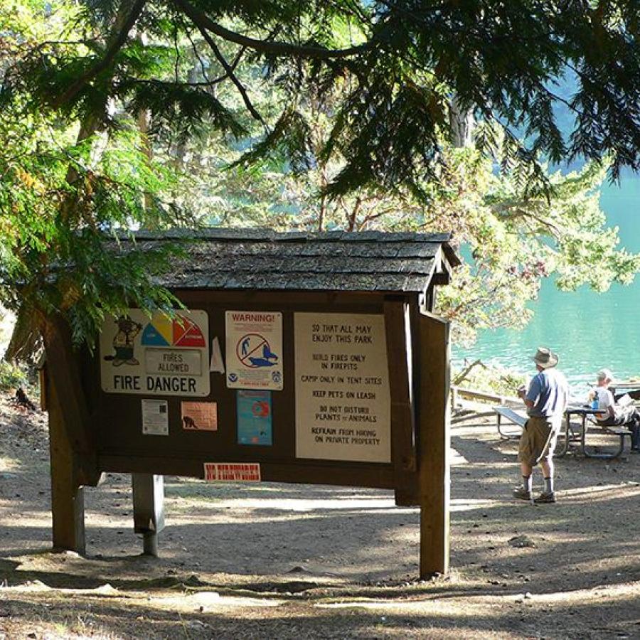
Fires allowed in all designated fire pits and grills. Propane and gas grills allowed.
Drinking Water is available at Stuart Island Marine State Park for Summer 2026.

Friday Harbor, WA 98250
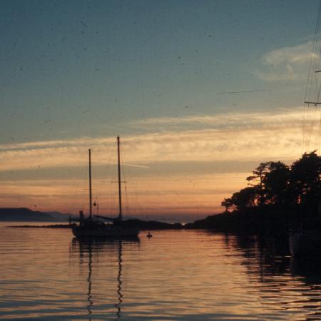
The northwestern-most San Juan Island is sure to inspire with beautiful sunsets that glow orange over clear waters. Come prepared to stay overnight at the primitive campground or sleep on your boat. Once you arrive at this water-access-only gem, you won't want to leave.
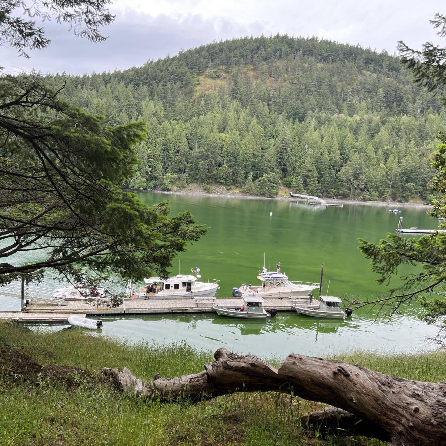
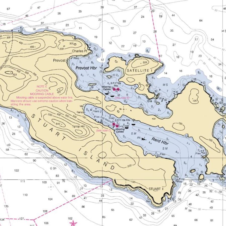
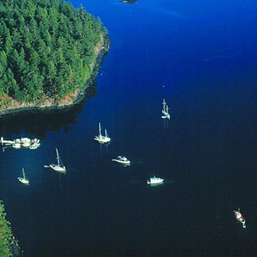
Unless arriving by kayak, boaters should not attempt to enter Prevost Harbor at the east end. This entrance is full of rocks and reefs. The only safe entrance is at the west end of Satellite Island. Stay in the middle of the channel and harbor until you are adjacent to the park dock. Consult your charts before you arrive. Once inside Prevost Harbor, there are plenty of deep water anchorages available if the park buoys and dock are full.
Drinking Water is available May through September.
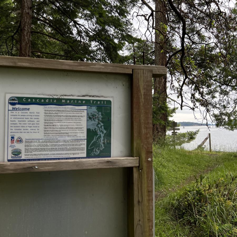
No garbage services on the island, practice Leave No Trace principles. Read our blog to learn more about the LNT principles.
Boating
Camping
Crabbing
Fishing
Kayaking
Paddleboarding
Shellfishing
Swimming
Windsurfing
Winter Camping
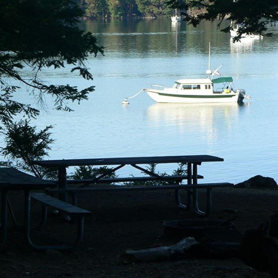
Dock
Moorage
Pumpout
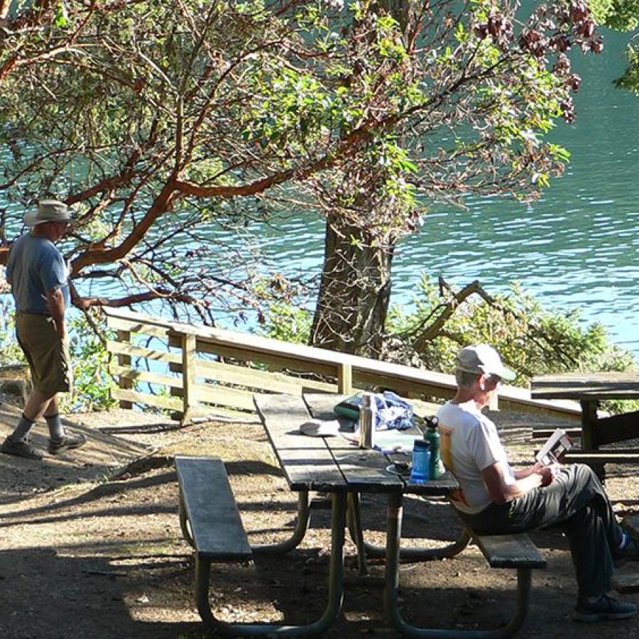
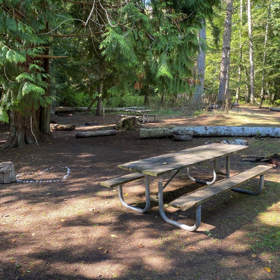
Picnic Tables
Lighthouse
Hiking Trails
Island
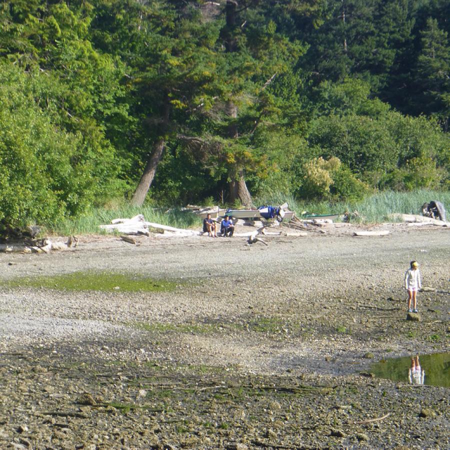
Rocky Beach
Saltwater
Viewpoint
Wildlife Viewing
Unless arriving by kayak, boaters should not attempt to enter Prevost Harbor at the east end. This entrance is full of rocks and reefs. The only safe entrance is at the west end of Satellite Island. Stay in the middle of the channel and harbor until you are adjacent to the park dock. Consult your charts before you arrive. Once inside Prevost Harbor, there are plenty of deep water anchorages available if the park buoys and dock are full.
Drinking Water is available May through September.
No garbage services on the island, practice Leave No Trace principles. Read our blog to learn more about the LNT principles.
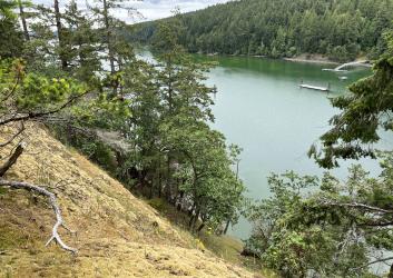
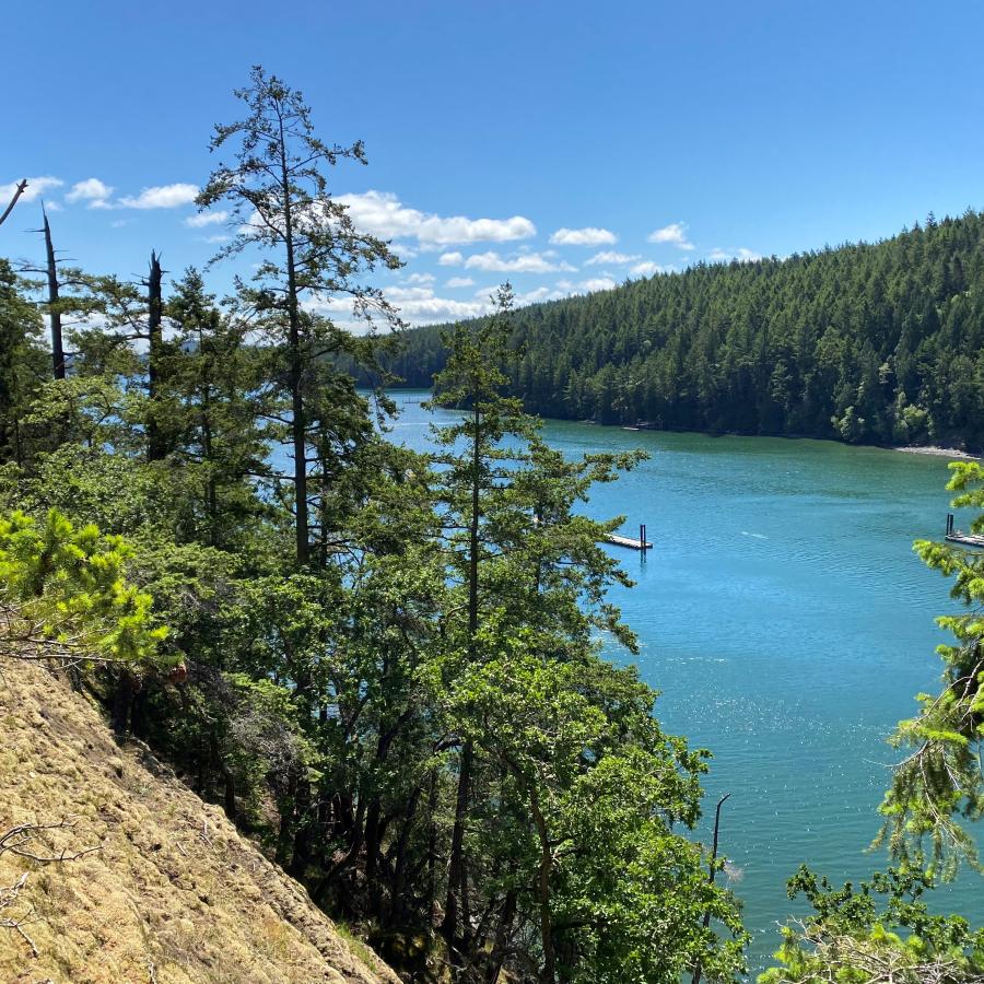
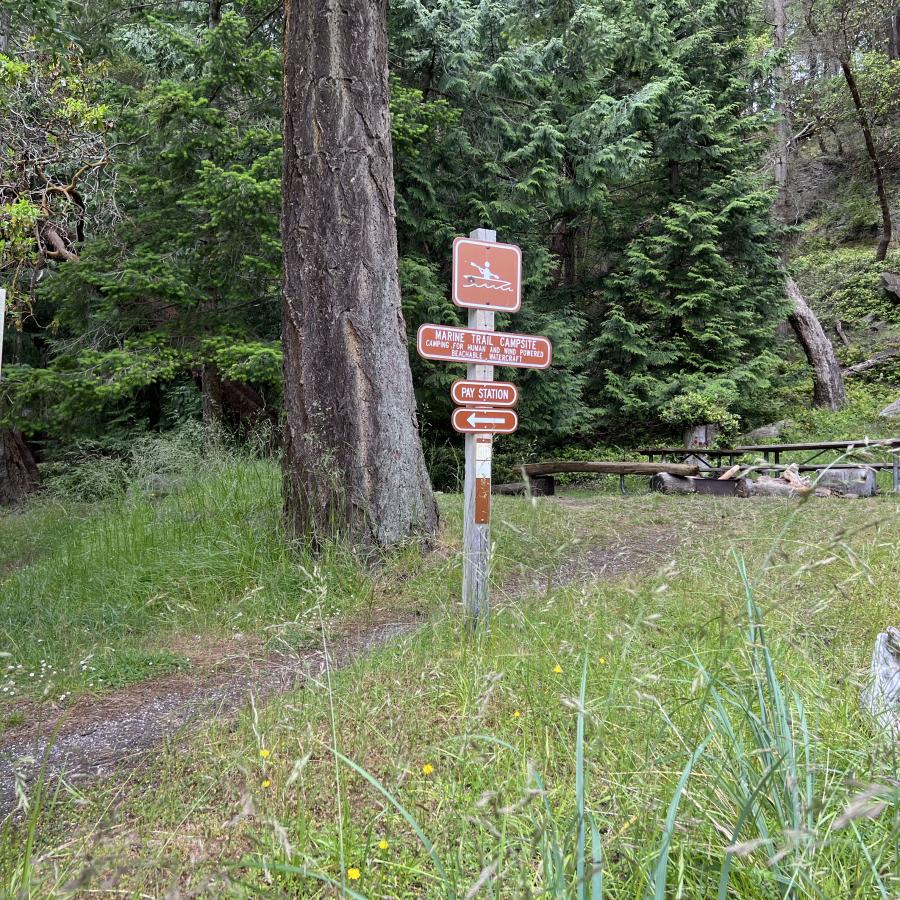
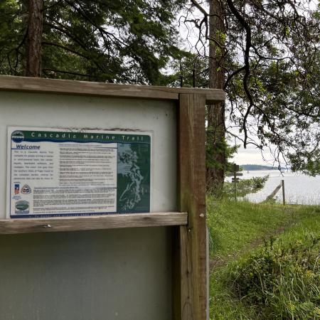
Stuart Island is marine camping park with about 6000 feet of shoreline. The park is part of the Cascadia Marine Trail and offers camping and moorage at Reed and Prevost harbors. Some campsites are for the exclusive use of those arriving by human- or wind-powered watercraft.
Composting toilets are near the dock at Reid Harbor and to the right of the Prevost Harbor dock.
The park has 14 primitive campsites and four marine trail sites. Camping is available on a first-come, first-served basis. Most sites are located on Prevost Harbor or on the ridge that separates Prevost and Reid harbors.
Campsites 15-18 at the head of Reid Harbor are designated Cascadia Marine Trail sites and are for the exclusive use of those arriving by human- or wind-powered watercraft.
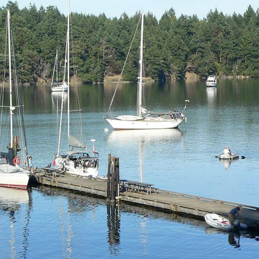
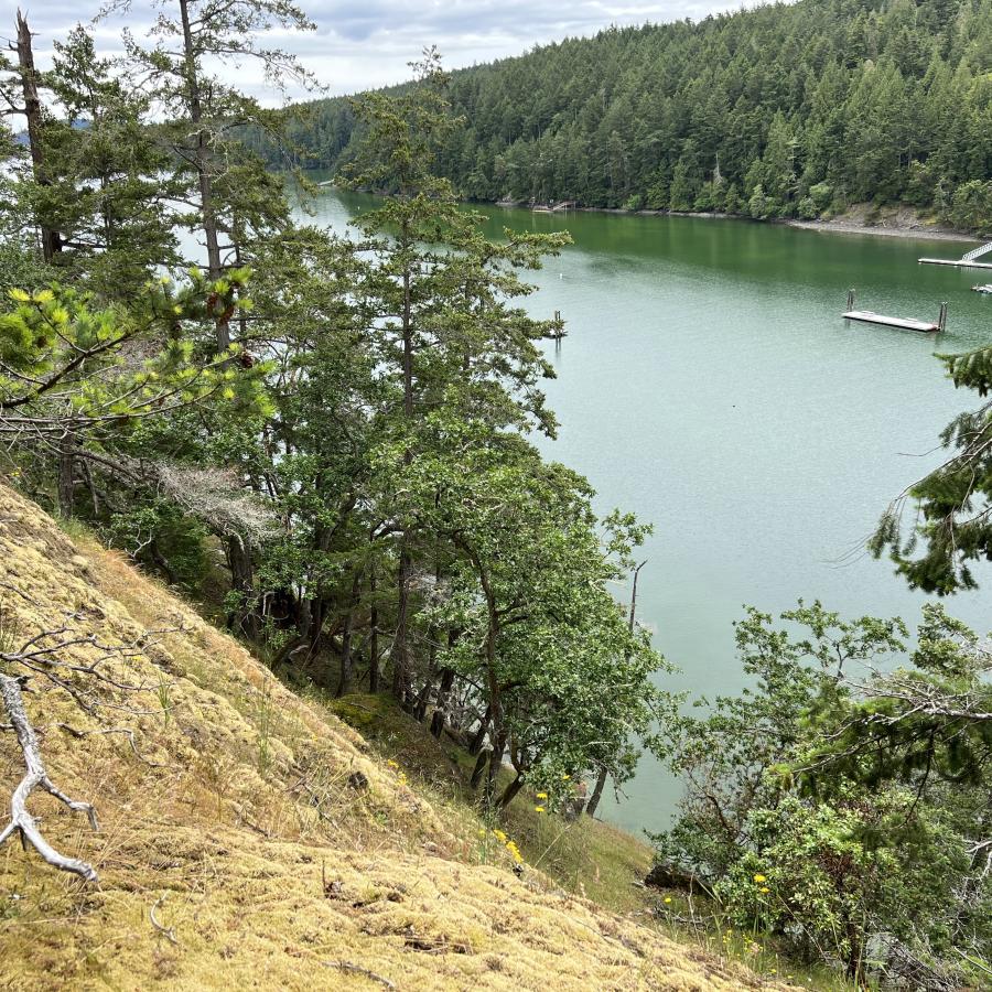
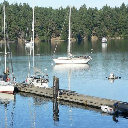
There are 20 buoys and 448 feet of dock, as well as a pumpout station. Additionally, you can find plenty of good anchorages along the entire length of the harbor. Please respect the private buoys, docks and property surrounding the park.
All boats, including boats rafted to another boat, must self-register and pay moorage fees upon arrival. Moorage fees are charged year round for mooring at docks, floats and buoys from 1 p.m. to 8 a.m. Daily and annual permits are available.
Prevost Harbor has seven buoys and a 128-foot dock (256 feet total).
Prevost Harbor is located at Latitude: 48° 40' 41" N (48.6780) Longitude: 123° 11' 49.99" W (-123.1972).
Reid Harbor has 13 buoys and a 96-foot dock (192 feet total).
Reid Harbor is located at Latitude: 48° 40' 19.92" N (48.6722) Longitude: 123° 11' 34.97" W (-123.1930).
This facility is located on a barge, open year-round, 24 hours a day with a floating dock. There are two slips available for pumpout usage. Access to this pumpout is limited to vessels with a length of no more than 60 feet. There is a stationary pumpout located at Reid Harbor. This facility also has a portable toilet dump station located at the Reid Harbor barge.
The pumpout is located at Latitude: 48° 40' 28.90" N (48.6747) Longitude: 123° 11' 55.87" W (-123.1989).