


We're updating our camping and moorage fees to continue providing great experiences for visitors amid inflation and rising costs. You will see a rate increase for camping stays booked for May 15 and beyond. Moorage fees will increase Jan. 1. Learn more here.
Fires allowed in all designated fire pits and grills. Propane and gas grills allowed.

Eastsound, WA 98245
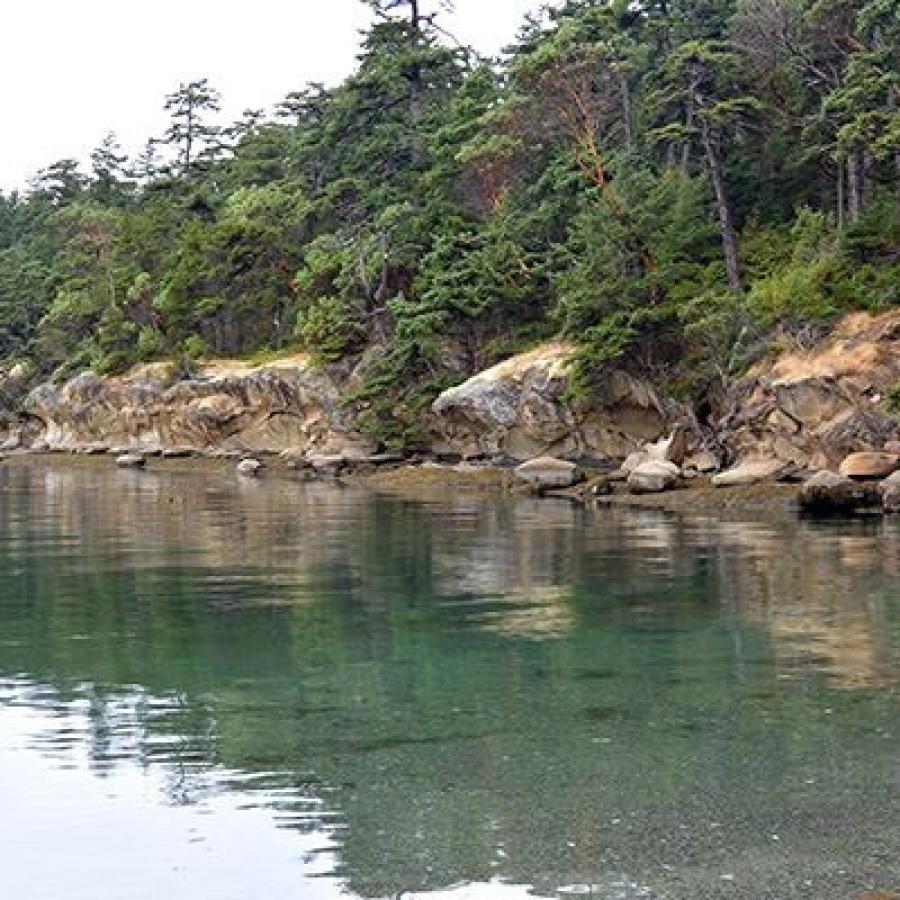
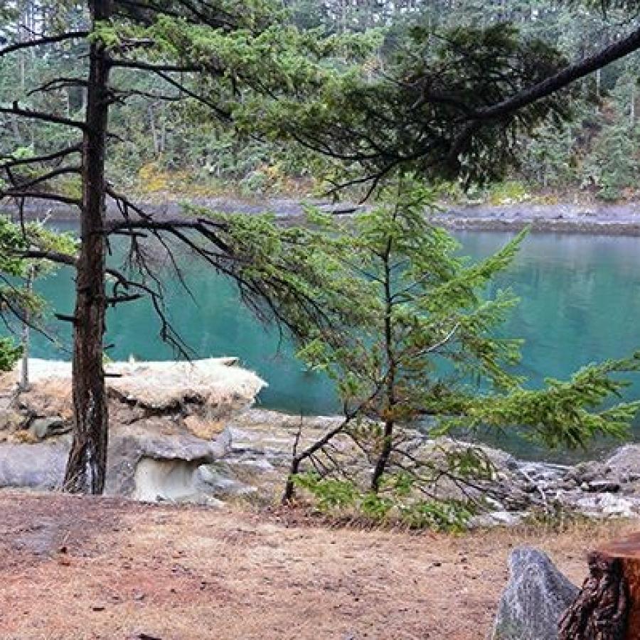
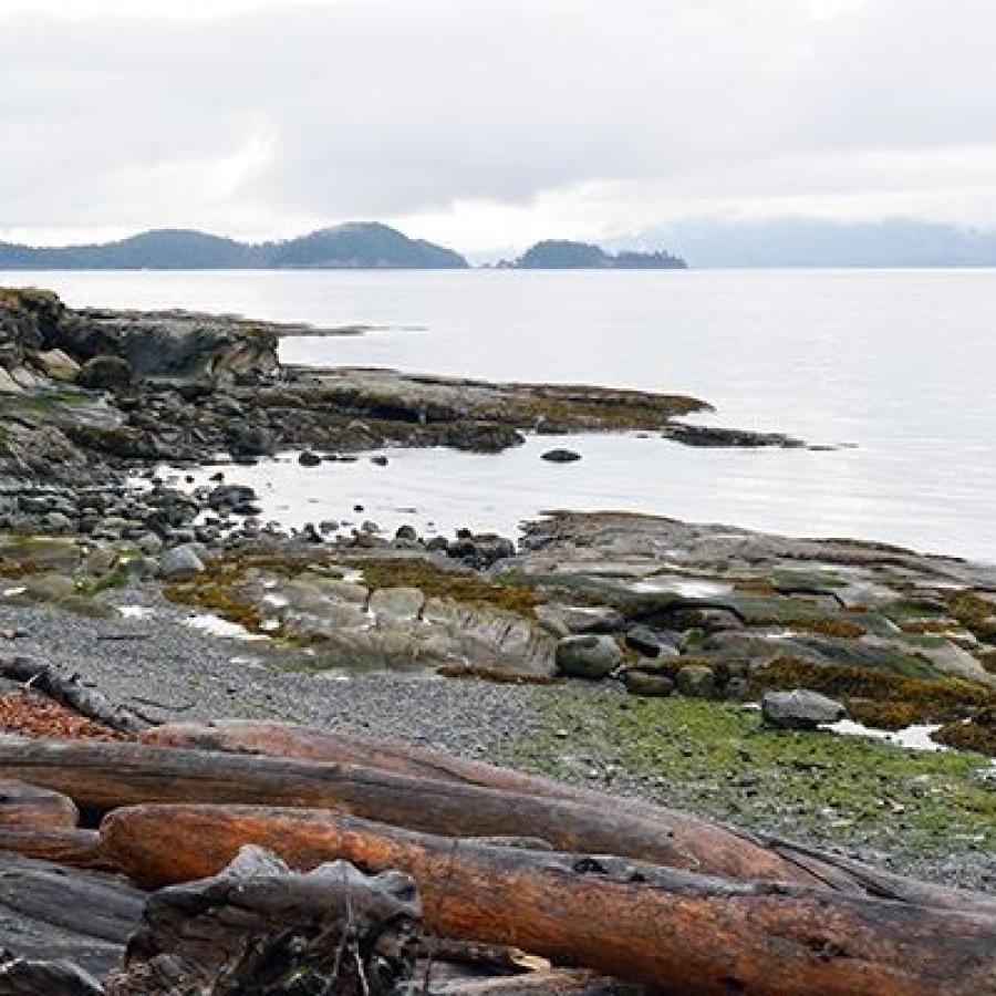
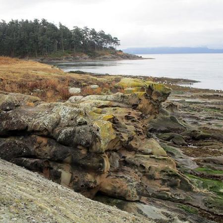
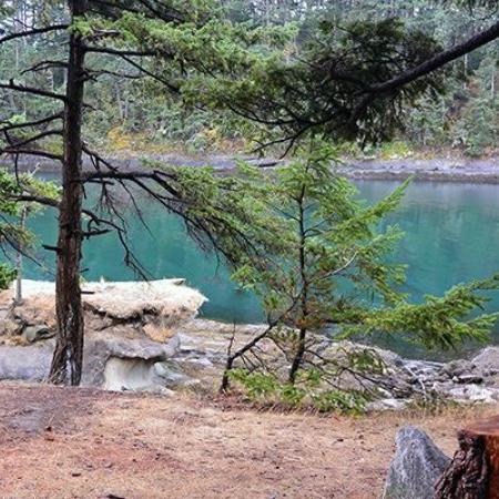
Patos Island is a 207-acre marine park that features dramatic rock formations, a landscape of madrone trees and a working lighthouse. Boat in and stay overnight at a primitive campsite and immerse yourself in the remote beauty of the San Juan Islands.
There is no drinking water.
No garbage services on the island, practice Leave No Trace principles. Read our blog to learn more about the LNT principles.
Beach Exploration
Bird Watching
Boating
Camping
Crabbing
Fishing
Hiking, Walking, Rolling and Running
Kayaking
Scuba Diving
Winter Camping
Restrooms
Buoys
Moorage
Picnic Tables
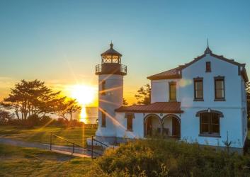
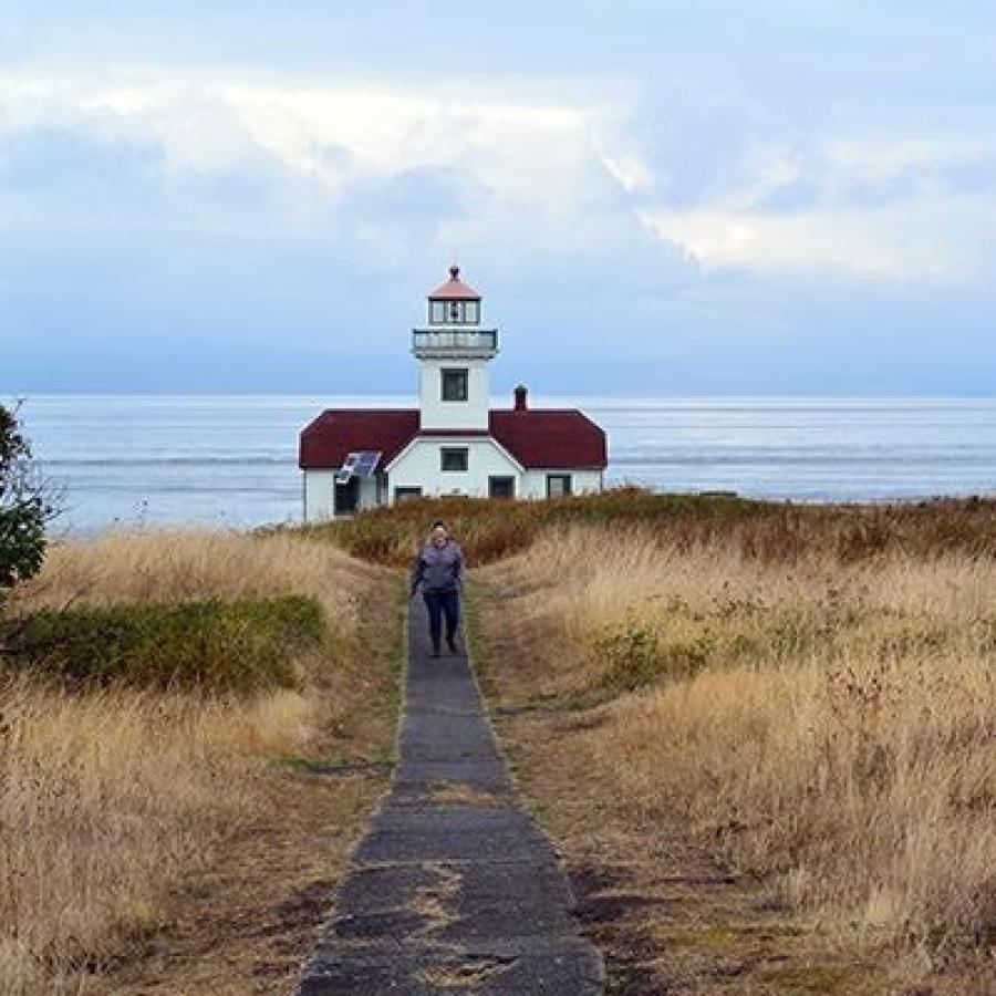
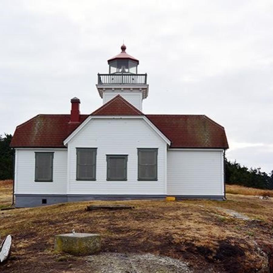
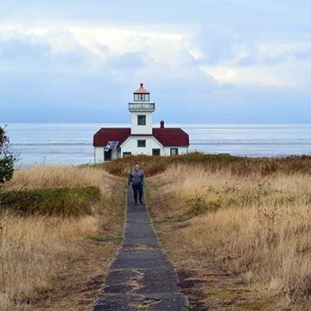
Lighthouse
Forest
Island
Rocky Beach
Saltwater
Viewpoint
Wildlife Viewing
There is no drinking water.
No garbage services on the island, practice Leave No Trace principles. Read our blog to learn more about the LNT principles.
One picnic site is available on a first-come, first-served basis. One composting toilet is available nearby.
Seven primitive campsites are available first-come, first-served. One vault toilet is located nearby.
Learn about seasonal closures and operational changes during the off-season on the Winter Schedule page.
Walk from the beach, through a madrone forest and up to the top of the rock outcropping for spectacular views. A half-mile hiking trail takes you to the U.S. Coast Guard Lighthouse located on the west end of the island.
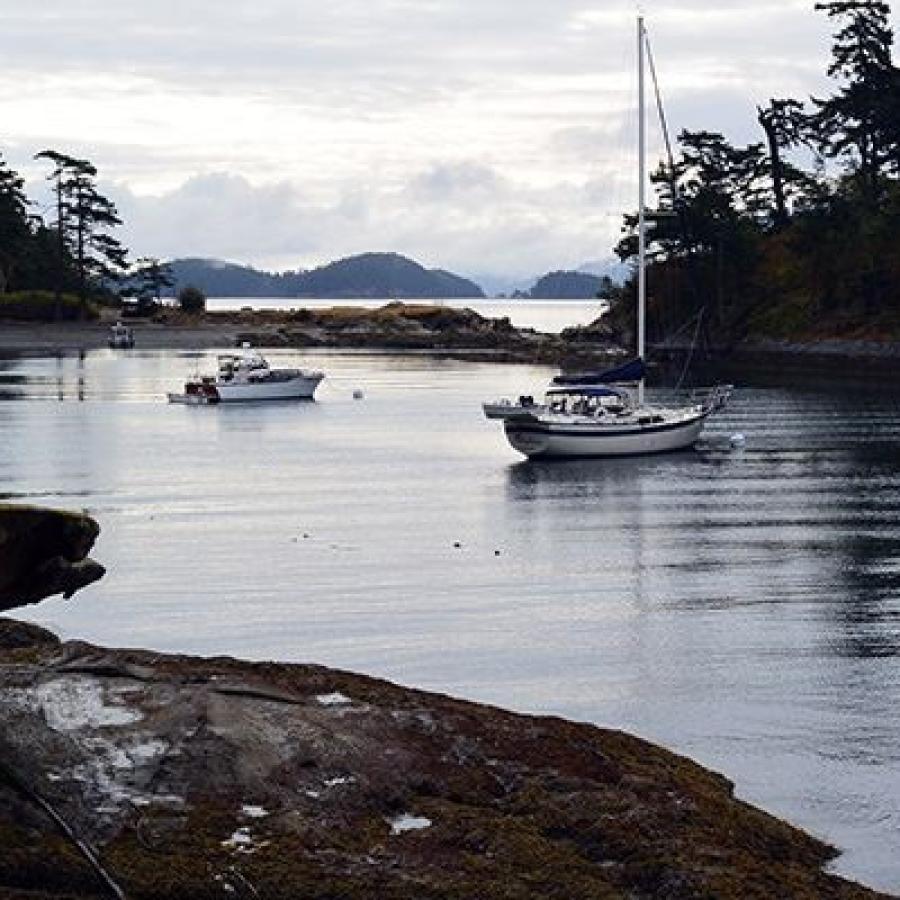
Two mooring buoys are available first-come, first-served. Moorage fees are charged year round from 1:00 p.m. to 8:00 a.m. Phone registration is available at buoys.
Be sure to check out weather reports and avoid anchoring here if the forecast indicates high pressure systems or wind speeds greater than 12 knots. The strong currents and winds may cause your boat to drag anchor and run aground.
Buoys are located at Latitude: 48º 47' 6" N (48.785) Longitude: 122º 57' 58.96" W (-122.9663).
Take a lighthouse tour to explore inside the lighthouse and learn more about its operation. Tours are offered most weekends Memorial Day through Labor Day (weather permitting). For more information, call Sucia Island State Park at (360) 376-2073.
Patos Island is the northernmost San Juan island and only a couple miles from Canadian waters.